
Soubor:Andaman Is location blank.png
Velikost tohoto náhledu: 356 × 600 pixelů. Jiná rozlišení: 142 × 240 pixelů | 399 × 672 pixelů.
Původní soubor (399 × 672 pixelů, velikost souboru: 37 KB, MIME typ: image/png)
Popis
| Popis | |
| Zdroj | No machine-readable source provided. Own work assumed (based on copyright claims). |
| Autor | No machine-readable author provided. CJLL Wright assumed (based on copyright claims). |
Licence
Já, držitel autorských práv k tomuto dílu, ho tímto zveřejňuji za podmínek následujících licencí:

|
Tento dokument smí být kopírován, šířen nebo upravován podle podmínek Svobodné licence GNU pro dokumenty verze 1.2 nebo libovolné vyšší verze publikované nadací Free Software Foundation. Dokument nemá neměnné části ani texty na předním či zadním přebalu. Kopie textu licence je k dispozici v oddíle nazvaném GNU Free Documentation License. |
| Tento soubor podléhá licenci Creative Commons Uveďte autora-Zachovejte licenci 3.0 Unported | ||
| ||
| Tato licenční šablona byla k tomuto souboru přidána v rámci změny licencování. |
Tento soubor podléhá licenci Creative Commons Uveďte autora 2.5 Generic
- Dílo smíte:
- šířit – kopírovat, distribuovat a sdělovat veřejnosti
- upravovat – pozměňovat, doplňovat, využívat celé nebo částečně v jiných dílech
- Za těchto podmínek:
- uveďte autora – Máte povinnost uvést autorství, poskytnout odkaz na licenci a uvést, pokud jste provedli změny. Toho můžete docílit jakýmkoli rozumným způsobem, avšak ne způsobem naznačujícím, že by poskytovatel licence schvaloval nebo podporoval vás nebo vaše užití díla.
Můžete si zvolit libovolnou z těchto licencí.
Historie souboru
Kliknutím na datum a čas se zobrazí tehdejší verze souboru.
| Datum a čas | Náhled | Rozměry | Uživatel | Komentář | |
|---|---|---|---|---|---|
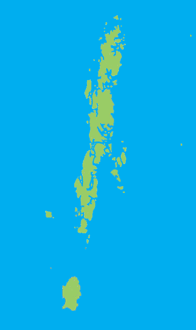
| současná | 22. 12. 2005, 02:38 | | 399 × 672 (37 KB) | CJLL Wright | Blank outline map of the Andaman Islands. |
Využití souboru
Tento soubor používá následující stránka:
Globální využití souboru
Tento soubor využívají následující wiki:
- Využití na en.wikipedia.org
- Great Nicobar Biosphere Reserve
- Great Andaman
- Mount Thullier
- Ten Degree Channel
- Andaman district
- Port Blair tehsil
- Rangat
- Ferrargunj
- Nancowry tehsil
- Saddle Peak National Park
- North Button Island National Park
- Galathea National Park
- Template:AndamanNicobar-geo-stub
- Campbell Bay National Park
- Rani Jhansi Marine National Park
- Bombooflat
- Garacharma
- Little Nicobar
- Teressa Island
- Henry Lawrence Island
- Strait Island
- Saddle Peak (Andaman Islands)
- Harinagar, Mayabunder
- Manglutan
- Shibpur, Diglipur
- South Cinque Island
- Bluff Island (Andaman Islands)
- The Sisters (Andaman Islands)
- West Sister Island (Andaman Islands)
- Ramnagar, Diglipur
- Kadamtala, Rangat
- Port Cornwallis
- Landfall Island
- North Reef Island (Andaman Islands)
- Tushnabad
- Kalpong River
- Arong, Car Nicobar
- Tillangchong
- Shompen Village-B
- Kausalya Nagar
- Battimalv Island
- Car Nicobar Subdivision
- Paira Island
- Man Island (Nicobar Islands)
- Bompuka Island
- Kamorta Island
- Nancowry Subdivision
- Meroe Island
- Kondul Island
- Great Nicobar Subdivision
Zobrazit další globální využití tohoto souboru.